

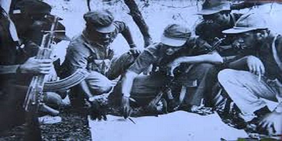
Timeless Liberation War Series – Zimbabwe’s liberation struggle was fought across a vast geographical landscape, stretching from the country’s eastern and north-eastern borders to the southern frontier. For the Zimbabwe African National Liberation Army (ZANLA), the military wing of ZANU, organising such a wide theatre of war required more than guerrilla units operating independently.
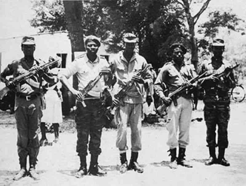
ZANLA developed an operational structure that divided its areas of activity into provinces and sectors, creating a military network through which fighters could be deployed, supplied, commanded and coordinated.
Among the best-known operational areas were Nehanda, Chaminuka, Takawira, Tangwena, Musikavanhu and the four Gaza sectors. Other formations and names appeared as the war developed and operational structures changed.
These sectors were more than lines on a military map. They represented areas in which guerrilla warfare, political mobilisation, intelligence gathering and community engagement converged.
Understanding this structure provides an important window into how ZANLA transformed a campaign of guerrilla warfare into a nationwide military and political struggle that ultimately contributed to the collapse of Rhodesia’s minority-rule system and Zimbabwe’s independence in 1980.
The Three Major Operational Provinces
ZANLA’s principal operational structure was organised around major provinces, most notably Tete, Manica and Gaza, with sectors operating underneath the provincial command structures.
The arrangement reflected the geographical realities of the war.
Mozambique was particularly important because it provided ZANLA with rear bases and access routes into Rhodesia. From these areas, guerrilla fighters could infiltrate the country, establish contacts with communities and conduct military and political operations.
The border was therefore not simply a dividing line between two countries. It became part of the wider operational geography of the liberation war.
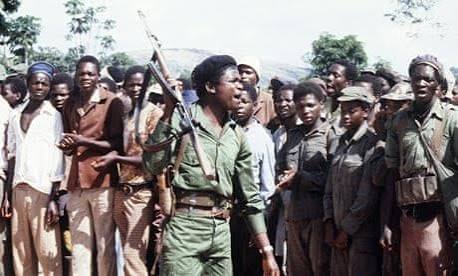
Within Zimbabwe, guerrilla groups moved through communal lands, mountains, forests, farms and rural settlements.
The operational sector system helped commanders manage this expanding battlefield.
Tete Province: The Northern Gateway
Tete Province became one of ZANLA’s most important operational areas.
Located in Mozambique, it provided strategic access to north-eastern Rhodesia and became an important launch point for guerrilla operations.
The northern theatre was significant because of its proximity to densely populated rural areas and important economic and transport corridors.
Within the northern operational structure were sectors associated with prominent liberation-war names, including Nehanda, Chaminuka and Takawira.
Nehanda Sector
The Nehanda Sector carried the name of one of the most powerful symbols of Zimbabwean resistance.
Mbuya Nehanda, associated with the First Chimurenga of 1896–97, became an enduring symbol of African resistance to colonial conquest.
By naming an operational area after Nehanda, the liberation movement connected the armed struggle of the 1960s and 1970s to the earlier resistance against colonial occupation.
The Nehanda operational area was therefore significant not only militarily but also politically and symbolically.
Guerrilla warfare depended upon mobility, secrecy and community networks.
Fighters required food, information, guides and safe routes. This meant that the effectiveness of a guerrilla unit depended heavily on its relationship with the communities in which it operated.
The sector consequently became both a battlefield and a political space.
Chaminuka Sector
The Chaminuka Sector formed another important part of the northern operational theatre.
Its name was associated with the spiritual and historical heritage of the Shona people and the wider resistance tradition that preceded colonial rule.
The sector’s importance reflected the strategic value of the north-eastern countryside.
Guerrillas could use forests, rivers, mountains and rural settlements to move between areas, evade security forces and establish operational networks.
The struggle in such areas was not simply about attacking military targets.
It involved political mobilisation, recruitment, intelligence gathering and attempts to establish a sustained guerrilla presence.
Takawira Sector
The Takawira Sector was named after Leopold Takawira, one of the prominent nationalist leaders associated with ZANU.
Takawira’s name became part of the geographical vocabulary of the liberation struggle, reflecting the close connection between ZANU’s political history and ZANLA’s military organisation.
The sector formed part of the wider northern operational structure.
Its existence demonstrated how ZANLA sought to organise guerrilla operations geographically while maintaining links with higher command.
The guerrilla fighters working within these areas were not simply isolated groups.
They formed part of a wider command structure designed to coordinate military operations across the country.
Chitepo Sector
The northern operational map also includes the Chitepo Sector, named after Herbert Chitepo, the prominent ZANU nationalist leader assassinated in Lusaka in 1975.
Chitepo was one of the central figures in the development of ZANU’s external political and military structures.
His assassination became a major moment in the history of the liberation movement.
His name subsequently became embedded in the military and political memory of the struggle, including through the naming of operational areas.
Manica Province: The Eastern Front
Further south lay Manica Province, covering a strategically important section of the eastern theatre.
The province’s proximity to Mozambique and the rugged terrain of the eastern highlands created an environment particularly suited to guerrilla operations.
Among the operational areas associated with Manica were Tangwena, Munhumutapa and Musikavanhu.
The eastern front became one of the major theatres through which ZANLA sought to expand its military presence inside Rhodesia.
Tangwena Sector
The Tangwena Sector takes its name from the Tangwena people and their traditional homeland in the eastern highlands.
The Tangwena community became closely associated with resistance to colonial land policies.
The struggle over land gave the area considerable political significance even before the armed struggle intensified.
For ZANLA, the eastern highlands offered valuable geographical advantages.
Mountains, forests and difficult terrain could provide concealment and create challenges for conventional security forces.
At the same time, rural communities represented potential sources of food, information, recruits and logistical support.
The Tangwena area therefore demonstrates how geography and politics were inseparable during the liberation war.
Munhumutapa Sector
The Munhumutapa Sector carried the name of the historic Munhumutapa State, one of the major pre-colonial political formations in the region.
The Munhumutapa State occupies an important place in the historical consciousness of Zimbabwe and the wider southern African region.
Its use as the name of a ZANLA operational sector reflected the liberation movement’s effort to connect the modern nationalist struggle with Africa’s pre-colonial political history.
The name reinforced the idea that African political sovereignty existed long before colonial rule.
In the context of the liberation war, historical references such as Munhumutapa, Nehanda and other traditional or nationalist names helped create a political vocabulary centred on African history, identity and self-determination.
The sector was therefore part of both the military geography and the historical symbolism of the struggle.
Musikavanhu Sector
The Musikavanhu Sector formed another part of the Manica operational structure.
Like other sectors, it represented a geographical area over which ZANLA commanders and units exercised operational responsibility.
The sector system allowed the military leadership to divide a large and difficult battlefield into more manageable areas.
Within each area, smaller formations could be deployed and coordinated according to local conditions.
This was particularly important in guerrilla warfare, where fighters often operated in small groups far away from conventional military bases.
Gaza Province: The Southern Theatre
Further south was Gaza Province, another major ZANLA operational theatre.
Unlike sectors that carried the names of historical personalities or traditional areas, the Gaza operational area was commonly divided into numbered formations:
Gaza Sector 1
Gaza Sector 2
Gaza Sector 3
Gaza Sector 4
The southern theatre opened another route into Rhodesia from Mozambique.
This gave ZANLA an opportunity to expand the geographical spread of the war and place additional pressure on the Rhodesian security forces.
The terrain and communities in the south differed from those in the north-eastern and eastern highlands.
Consequently, commanders had to adapt operations to local geographical and social conditions.
The four Gaza sectors provided a framework through which ZANLA could divide responsibility across the wider southern theatre.
Why ZANLA Needed Sectors
The sector system was fundamental to the organisation of guerrilla warfare.
A conventional army generally operates through established bases, supply systems, roads and clearly defined front lines.
A guerrilla army operates differently.
Fighters move through difficult terrain, often in small groups, and depend heavily on concealment, intelligence and local support.
A sector system gave commanders a geographical framework within which they could coordinate these activities.
Sectors could be broken down into smaller operational formations, allowing responsibility to be distributed among commanders and units.
This also created channels through which information could move upwards.
Reports from the operational areas could inform senior commanders about military activity, enemy movements, recruitment, supplies and challenges facing guerrilla units.
The battlefield therefore became part of a continuous flow of information between fighters on the ground and the leadership.
The People Were Part of the Battlefield
Perhaps the most important feature of the ZANLA operational map is what it does not immediately show.
The liberation war was fought among communities.
A guerrilla unit could not survive simply by possessing weapons.
It required food.
It needed intelligence.
It needed guides who understood the terrain.
It needed places to rest and routes through which fighters could move without being detected.
This made ordinary rural communities central to the conflict.
In many areas, the war created intense pressure on civilians, who could find themselves caught between guerrillas and Rhodesian security forces.
Villages could become sites of political mobilisation, intelligence gathering or military confrontation.
The population therefore became a critical component of the wider struggle.
This is why the operational sector should be understood as more than a military boundary.
It was a social and political environment in which the liberation movement sought to build influence while the Rhodesian state attempted to maintain control.
Geography as a Weapon
The ZANLA operational map also demonstrates the importance of geography.
The eastern mountains provided concealment.
Rural settlements provided human networks.
Mozambique provided rear areas and infiltration routes.
Rivers and forests influenced movement.
Roads and economic centres provided potential military targets.
The guerrilla war was therefore fought not only with rifles and explosives but also through the exploitation of geography.
A fighter who understood the terrain had an advantage.
A community that understood the movement of security forces could provide valuable intelligence.
A hidden route could determine whether a guerrilla unit reached its destination or was intercepted.
In this sense, the landscape itself became part of the military strategy.
The Evolution of the Operational Map
It is important to recognise that ZANLA’s operational map was not static.
As the war expanded, command structures changed.
New operational areas emerged.
Existing areas could be reorganised.
Commanders were transferred.
Units moved.
The intensity of fighting shifted from one area to another.
Consequently, historical sources may present slightly different arrangements of sectors depending on the period being examined.
The names Nehanda, Chaminuka, Takawira, Tangwena, Munhumutapa, Musikavanhu and Gaza 1–4 nevertheless remain central to understanding the broad geographical organisation of ZANLA’s campaign.
The sector system was an evolving response to the changing demands of a prolonged guerrilla war.
From Liberation Army to National Army
The military significance of ZANLA did not disappear with the end of the liberation war.
Following the Lancaster House settlement and Zimbabwe’s independence in 1980, the new country faced the enormous task of integrating former combatants into a national defence structure.
The new Zimbabwe National Army brought together personnel from the former Rhodesian Army, ZANLA and ZIPRA.
The integration of the three forces was one of the most significant security challenges facing the newly independent state.
Former guerrillas who had spent years operating in different sectors and provinces now had to become part of one national military institution.
The transition represented a fundamental change.
The sector map of the liberation struggle belonged to a period of armed resistance.
The post-independence army required a different structure — one based on national sovereignty rather than competing military movements.
A Map of Resistance
The names of the ZANLA operational sectors remain powerful reminders of how the liberation struggle was organised.
Nehanda. Chaminuka. Takawira. Chitepo. Tangwena. Munhumutapa. Musikavanhu. Gaza 1. Gaza 2. Gaza 3. Gaza 4.
Each name points to a different part of the geographical and political story of the war.
Together, they reveal an organisation attempting to coordinate guerrilla warfare across a country under colonial rule.
The provinces created broad operational theatres.
The sectors divided those theatres into manageable areas.
Smaller units brought the war closer to communities.
Command structures connected fighters in the field with the wider military leadership.
And the movement of people, weapons, information and supplies connected the different fronts into a broader national campaign.
The map therefore tells a story of organisation as much as combat.
It shows how ZANLA attempted to turn dispersed guerrilla activity into a coordinated national struggle.
It also reminds Zimbabweans that the liberation war was not fought in one place.
It was fought across mountains and valleys, farms and communal lands, borderlands and rural settlements.
The operational names preserved in the historical record are markers of that geography.
More than four decades after independence, they remain part of the country’s liberation-war memory.
For a new generation seeking to understand Zimbabwe’s past, studying the ZANLA operational map provides an opportunity to look beyond famous battles and individual commanders.
It reveals how the war was structured, how territory shaped strategy, how communities became central to the conflict and how a guerrilla army built an operational network that stretched across much of the country.
The map of ZANLA was ultimately a map of a struggle for national liberation — and understanding its sectors helps explain how that struggle was fought on the ground.
ZIM GLOBAL MEDIA — HISTORICAL NOTE
The terminology, boundaries and composition of ZANLA operational areas changed during the course of the liberation war. Different historical accounts may therefore present variations in the organisation of particular sectors and provinces. This article uses the principal operational names associated with the ZANLA wartime structure while recognising that the military map evolved as the war progressed.